Translate:
Land Surveying

Topographic Survey
- Field topographic surveys and Land registries.
- Boundary and division Disputes
- Land Development
- Detailed Street Surveys and Street scapes.
- Quarry face and landfill update surveys
- Large external area surveying by drone.
Architectural Survey
- Internal / External and Elevation Building Surveys
- All our floor plan surveys are accurately measured on site the latest Faro Focus laser 3D scanners. All our surveys are drafted electronically using AutoCAD and FARO software. As a result all our output data is available as either digital data or as a traditional paper plan.
- Sections
- 3D Point clouds of buildings are also available in different formats by request even for BIM design.
Setting Out
- Earthworks for major construction projects often form a large part of any contract. Design information needs to be transferred onto the ground in a useful manner in order for contractors to complete construction works. Wooden pegs, steel pins, profile boards and batter rails may not seem technical at first sight, but setting out of such information is an important role of the surveyor.
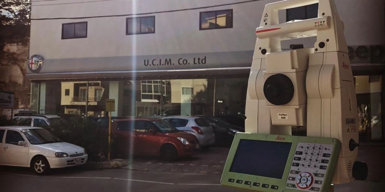
- Setting out is performed by Leica Robotic Total Stations.
- We have been entrusted as official surveyors for the construction of large projects such as hotels, infrastructure projects, residence complexes, etc.

Modelling and Volumes
The output of today's field survey is no longer a simple 2-dimensional contour plot. Observations completed in the field with modern surveying equipment are stored digitally then transferred directly into sophisticated software. This is capable of manipulating huge amounts of 3-D spatial data quickly into formats that are useful to architects, engineers and other design disciplines. The surveyor has the ability to create a digital terrain model (DTM) from collected data. In essence this is a spatially correct computerized representation of a site. As such, things can be added, overlaid or manipulated and dimensional information can be directly queried. The DTM is thus the starting block for any subsequent design project and can form the base information for many land and industrial GIS applications. By generating surfaces within the DTM volumetric information can be obtained. Questions concerning quantities such as cut & fill can be answered quickly and accurately. Laborious calculations, traditionally done by hand, can be performed many times at high speeds. This enables the designer to try out more options, giving greater flexibility and ultimately a more cost-effective solution. Design elements can be added to a model. For instance road alignments can be manipulated both horizontally and vertically to make best use of topography. Structures and drainage information can be incorporated, showing how they fit together and interact with each other in true 3-Dimensional space. A further benefit obtainable from the DTM is the ability to visualize a future scheme. Design information, in combination with computer graphics and digital photography, can be 'draped' over a model to form a realistic virtual project. It is possible for prospective clients and planners to enter into the model in real time, experiencing the views they would do with the real thing.
Copyright © 2026 Geomatix Surveying - All Rights Reserved.
GeoMatix Surveying is a registered trademark.
Cookie Policy
This website uses cookies. By continuing to use this site, you accept our use of cookies. Privacy Policy